Batsi-Katakilos-Ano Katakilos-Arni
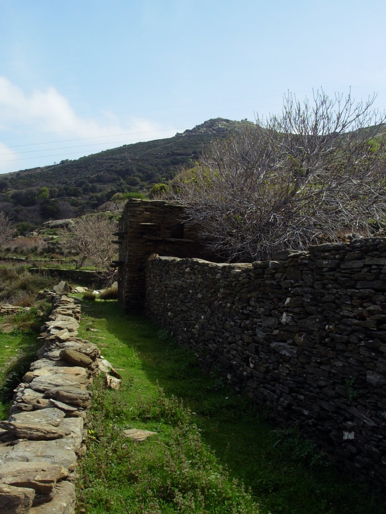
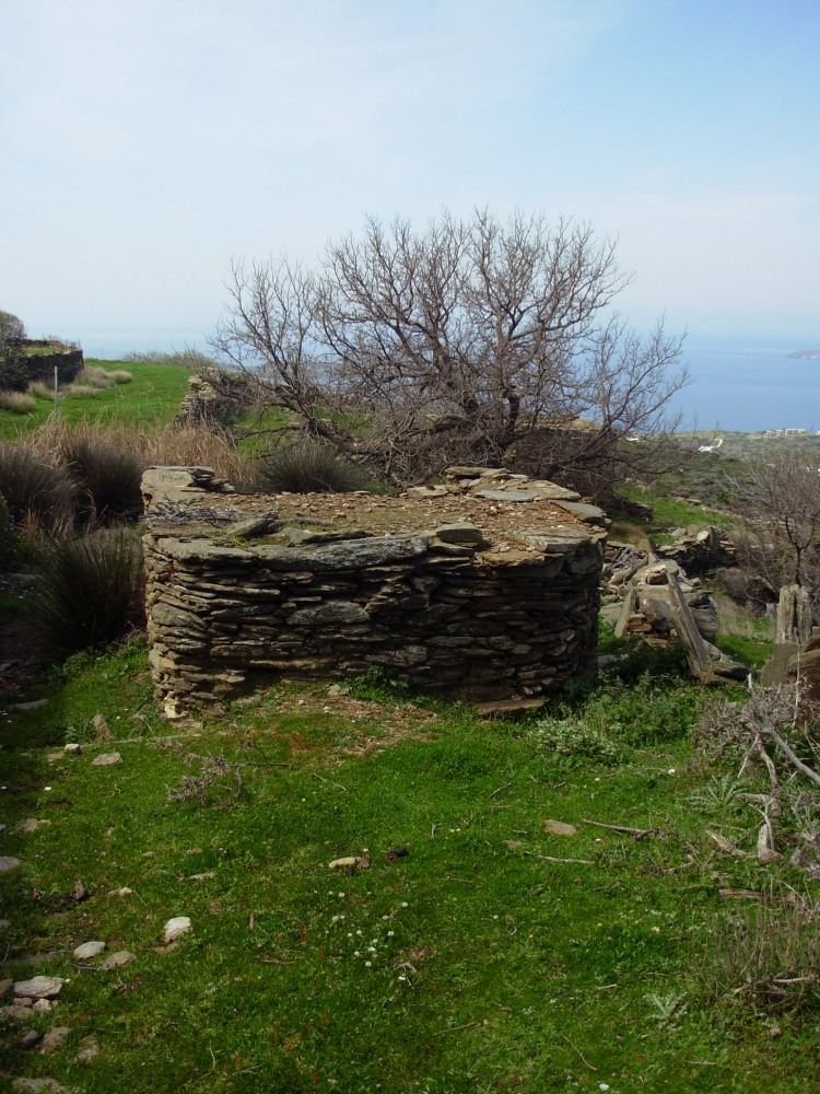
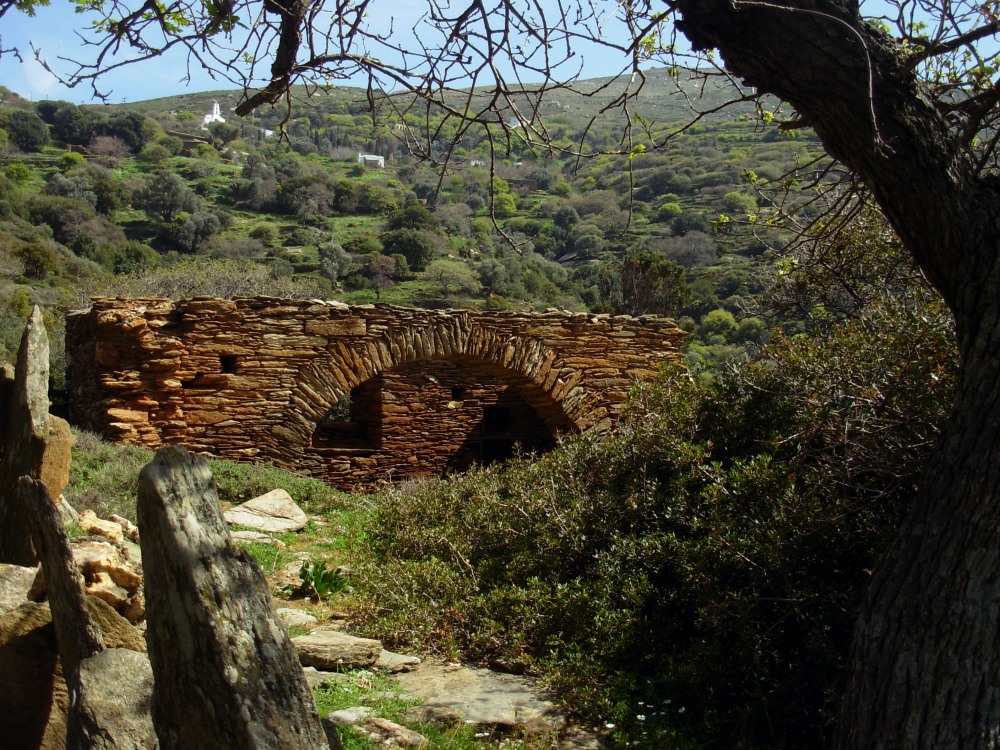
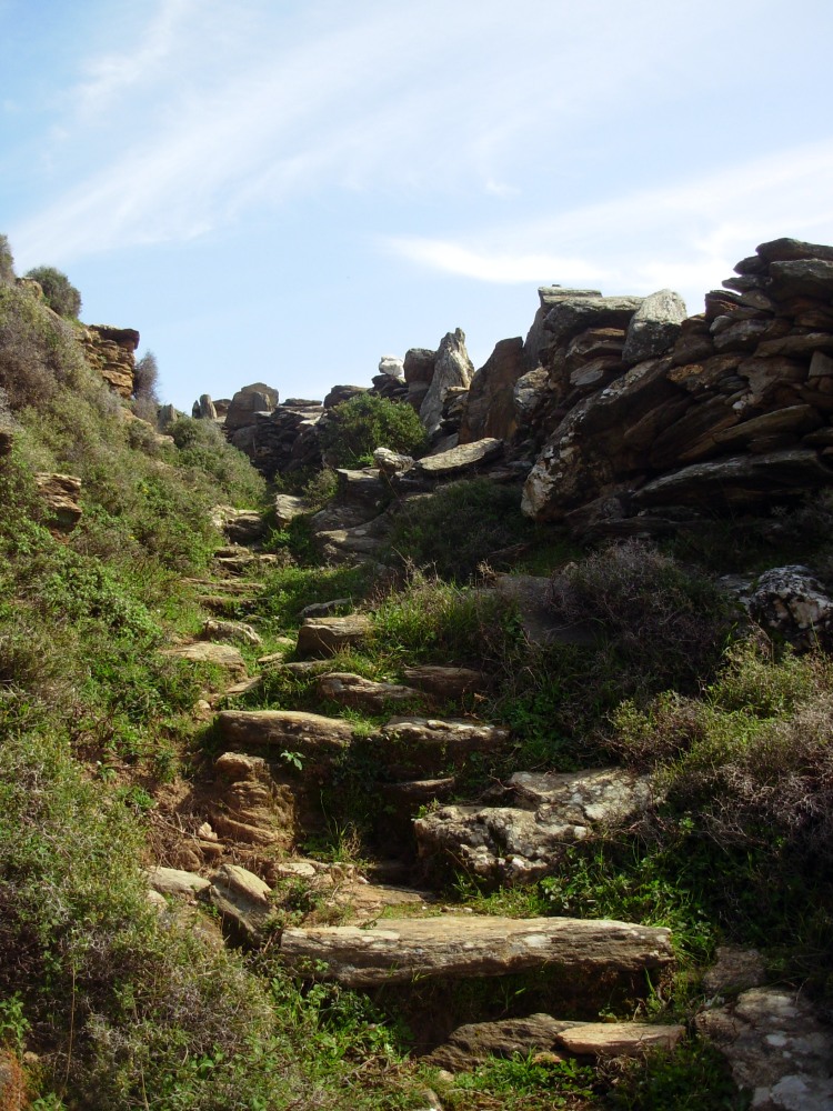
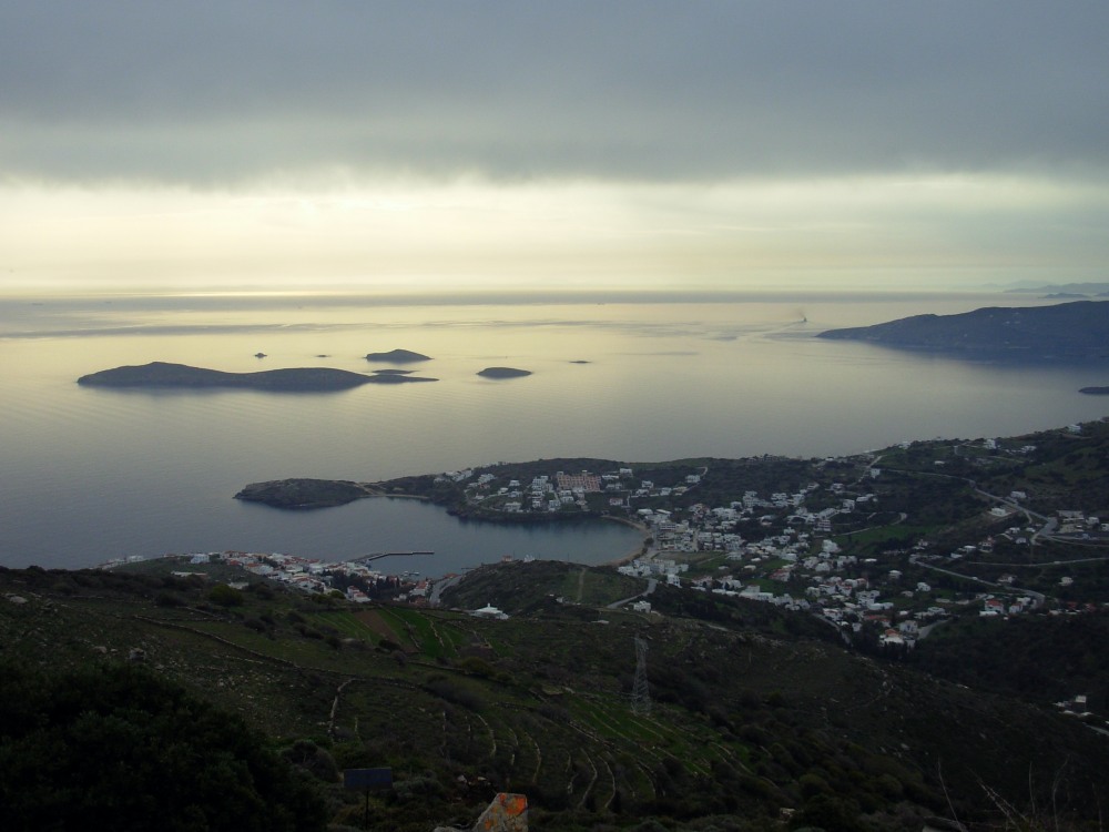
One of the longest and most enchanting routes of Andros, ascending on the highest mountain range – Petalo – and descending towards the green valley of Arni. Magnificent views from the mountain ridge impressively lush vegetation and water abundance in the most forested valley of Andros, all areas of invaluable biodiversity.
ACCESS- ROUTE CONDITION
Batsi – There are two starting/ending points
- From Batsi car park by the beach
- To reduce the amount of walking on the road, turn off the main Gavrio/Batsi/Chora main road at Batsi, signposted Katakilo. Continue for a short distance then turn right just after the Route 11 sign post on the right handside of the road to the start of the unpaved path
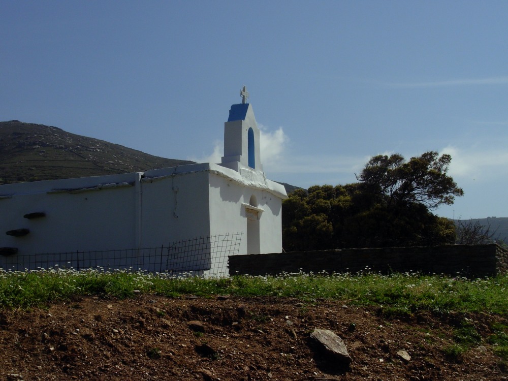
Arni -The chapel of Ag Pantes
Route condition: open
DISTANCE-DURATION
8.6 km / 4 hours
DRINKABLE WATER-FOOD
Water in Hamili Pigi (Spring) between Batsi & Katakilo, in Ano & Kato Katakilo you can find food & water


