 DAY 3 : 8,8 km/3.5-4 hrs walking
from Batsi to Katakilos & Arni
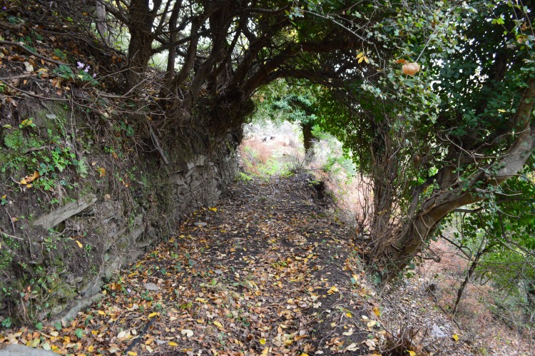
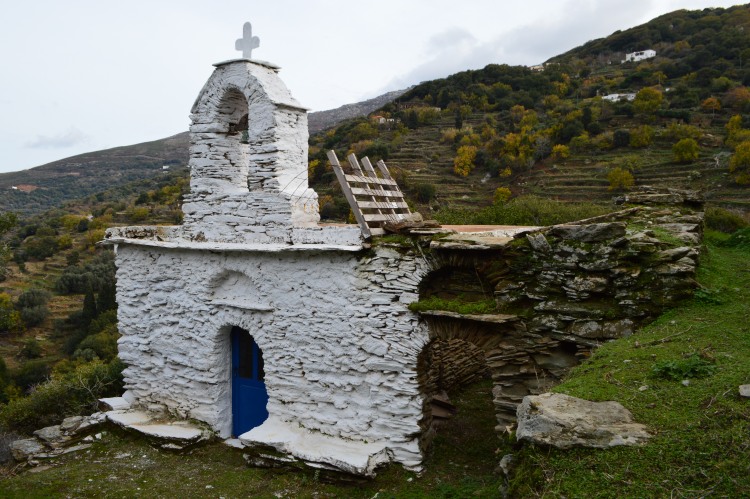
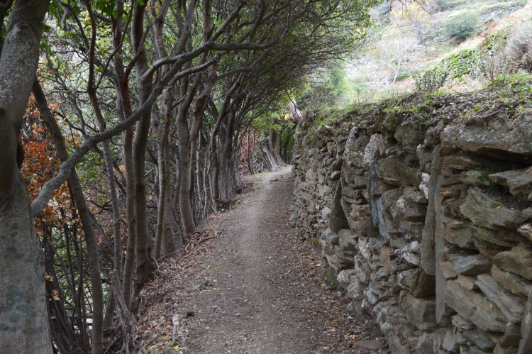
An enchanting route from the touristic coastline to the mountainous hinterlands. The picturesque scattered villages of Katakilos and Arni, the impressive changes of scenery and intense relief, the lush vegetation and ravines along the most forested valley of Andros- Arni with its invaluable biodiversity, comprise a route typical of Andros’ “wealth”.
Way marking


Starting/ending point - Transportation
Starting point : map point -3 Batsi/parking by the beach
Ending point : map point-4 Arni/Virgin Mary church
By taxi- approx. 20 € from Batsi to Arni (Price level 2016)
Taxis -from Gavrio: +30 2282 0 71561, from Batsi : +30 2282 0 41081, from Chora : +30 2282 0 22171
Drinkable water
at Batsi, before Katakilos, Katakilos and Arni
Useful tips
reaching Arni one has to pass through slightly mudded-slippery parts while crossing 3 beautiful ravines
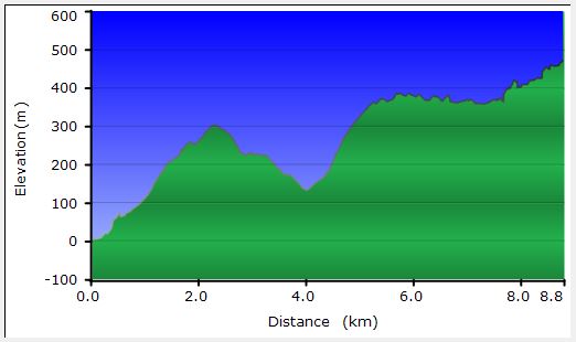
Map & Altitude diagram
Click on the map & diagram to enlarge it, turquoise line


